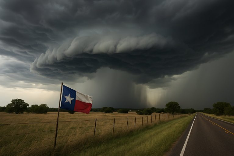
Brace Yourself: Storms With 100 MPH Winds and Grapefruit-Sized Hail Target Texas and Oklahoma—Here’s What You Need to Know for 2025
A life-threatening PDS thunderstorm warning brings hurricane-force winds, huge hail, and tornadoes to Texas and Oklahoma tonight—are you ready?
- 100 MPH: Possible wind gusts—rivaling a Category 2 hurricane
- 5-Inch Hail: Larger than grapefruits, could shatter windows
- 25 Times: PDS thunderstorm warnings issued since 2006
- 11 Million: People under severe threat in Texas and Oklahoma
Texans and Oklahomans are bracing for a night of explosive weather as a rare “Particularly Dangerous Situation” (PDS) thunderstorm warning rolls across the southern Plains. This high-alert comes after deadly storms battered the Deep South, and it’s setting the stage for an unprecedented severe weather outbreak as we head into summer 2025.
Forecasters from the National Weather Service and the NOAA Storm Prediction Center have issued an urgent call: buckle down and stay alert. The risk for destructive derecho winds—straight-line bursts topping 100 mph—looms large from Dallas to Oklahoma City. Hailstones bigger than grapefruits could rain down, smashing cars and rooftops. Embedded tornadoes add another layer of danger.
Q: What Makes This Storm “Particularly Dangerous”?
A “Particularly Dangerous Situation” warning is extremely rare and signals extraordinary risk. Since 2006, only 25 such severe thunderstorm warnings have been issued nationwide. On Sunday, June 8, 2025, the SPC elevated severe weather risk to Level 4 of 5 for nearly 7.5 million people in Texas and 4 million in Oklahoma.
The biggest threat? Destructive winds between 80 and 100 mph, fueled by powerful atmospheric dynamics and a pocket of cooler air helping bring those winds down to ground level. Residents in Dallas, Fort Worth, Arlington, Plano, Garland, Oklahoma City, Norman, Lubbock, Amarillo, and Abilene are at highest risk.
How To Stay Safe: Steps You Must Take Before the Storm Hits
– Charge devices and keep emergency alerts on
– Secure outdoor furniture, grills, and loose objects—100 mph winds can turn them lethal
– Move vehicles into garages to protect from hail
– Identify your safest shelter room (preferably an interior bathroom or closet away from windows)
– Prepare flashlights, water, food, and first aid kits
Get the latest updates via the free Fox Weather app or the CDC for emergency preparedness tips.
Q: Why Is the Derecho Threat So Severe This Time?
Meteorologists point to a combination of supercell thunderstorms merging into a powerful mesoscale convective system (MCS) as a key driver. These storms line up to unleash widespread wind damage resembling a land hurricane—a derecho. With upper-level winds roaring across the Plains and cooler air at the surface, the setup is perfect for chaos.
The aftermath already looks grim: tornadoes on Saturday shredded parts of McAlester, Oklahoma, leaving a trail of destruction, and meteorologists expect more tornadoes could be embedded within tonight’s main storm line.
How Can You Tell the Difference—Watch vs. Warning?
A “Watch” means conditions are right for severe storms to develop; a “Warning” means danger is happening now. Take action immediately if you’re in a warning zone.
For real-time alerts and disaster resources, check the Red Cross and FEMA.
What to Do if You Lose Power or Communication?
– Use battery-powered radios for updates
– Avoid unsafe travel during high winds and hail
– Text, don’t call, to preserve cell tower bandwidth
Don’t take any chances with this rare, dangerous weather outbreak! Stay alert, stay prepared, and be ready to shelter tonight.
Storm Safety Checklist—Act Now:
- Charge your phone and emergency radios
- Secure or bring inside outdoor objects
- Stock flashlights, water, and non-perishables
- Designate your family’s safest room
- Enable severe weather alerts
- Plan for pets’ safety indoors
Your vigilance could save a life—don’t wait until the sirens wail.


